
It's been a while since the writing energy has hit. So today has been all about punching through a writeup of doing something useful with imperfect data
#dronemapping #fieldwork #FOSS4G
https://www.spatialised.net/counting-trees-in-sparse-woodland-with-opendronemap-pdal-and-qgis/
![[1] Drone images in a transect. The images must have GPS metadata - position and also orientation](https://cdn.masto.host/mapstodonspace/media_attachments/files/114/186/213/932/061/516/original/f352d8bf90b02501.png "[1] Drone images in a transect. The images must have GPS metadata - position and also orientation")
![[2] Image footprints from DroneDB CLI as black outlines. You will need to adjust the styling for this effect](https://cdn.masto.host/mapstodonspace/media_attachments/files/114/186/213/950/846/831/original/916300627ff1a988.png "[2] Image footprints from DroneDB CLI as black outlines. You will need to adjust the styling for this effect")
![[3] Dissolved image footprint polygons as a single purple polygon](https://cdn.masto.host/mapstodonspace/media_attachments/files/114/186/213/653/827/170/original/7a79af9053cf601b.png "[3] Dissolved image footprint polygons as a single purple polygon")
![[4] Dissolved footprints, reprojected to a CRS expressed in metres and labelled with the $area. The label field reads:
to_string(round($area,2)) || ' square metres'
...which rounds the $area attribute to 2 decimal places, converts it to a string, then concatenates it with the context string contaning units.](https://cdn.masto.host/mapstodonspace/media_attachments/files/114/186/213/705/299/604/original/2919095816a95f77.png "[4] Dissolved footprints, reprojected to a CRS expressed in metres and labelled with the $area. The label field reads:
to_string(round($area,2)) || ' square metres'
...which rounds the $area attribute to 2 decimal places, converts it to a string, then concatenates it with the context string contaning units.")


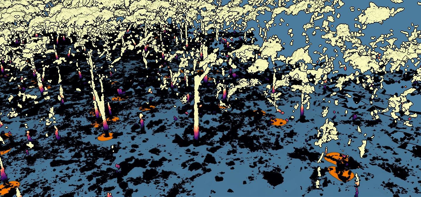


 near Bendigo")